GPS-Free Positioning
GPS-Free Positioning or MINT (Micro-Inertial Navigation Technology), a wearable navigation and localization aid, was developed by NREC. MINT locates a person by keeping track of his or her footsteps without the need for satellites or other external references. MINT is intended for places where GPS isn’t available: inside buildings, underground and beneath the tree canopy in forested areas.
Application
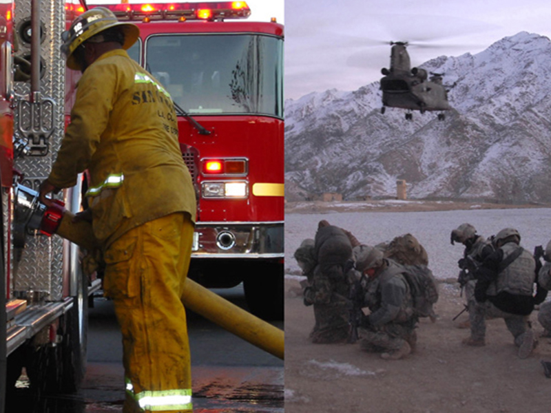
MINT was originally developed to accurately locate soldiers in GPS-denied areas. However, there are many other applications for MINT:
- First responders: MINT could locate first responders at all times, even when they’re inside buildings.
- Mining: Rescuers could find the location of underground miners easily when accidents occur.
- Vehicle Safety: Unmanned and manned vehicles would know the exact positions of people who are working around them, making them safer to operate.
- Entertainment: Precisely tracking the locations of actors and game players would enhance digital motion capture and virtual reality games.
Capabilities
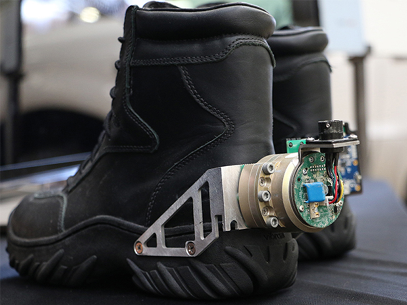
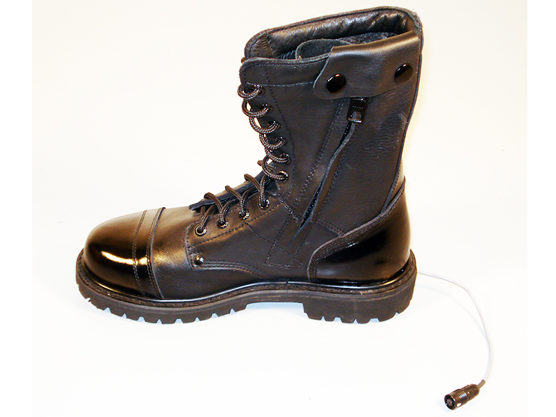
MINT’s main components included pairs of inertial measurement units (IMUs) and other complementary sensors. They’re placed inside shoes and track every step a person takes. A wearable computer uses this information to estimate the person’s location. It then transmits this location to a command center, which monitors the position of every MINT wearer. MINT’s energy requirements are low enough that the process of walking could generate enough power to run the system.
Mint operates in all types of environment, including indoor and outdoor applications.
Photos